
Weak El Nino may or may not be forming, but will influence summer weather
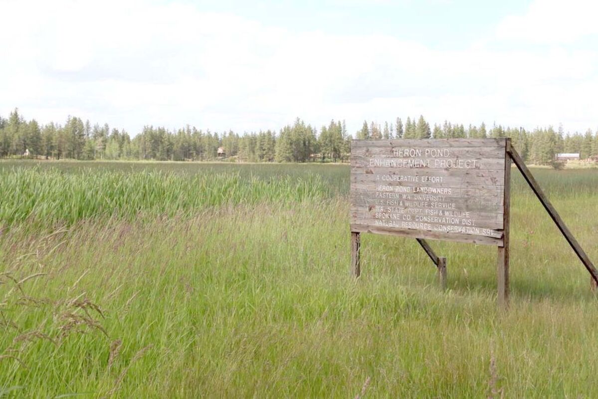
Heron Pond on State Route 902 outside of Medical Lake is a prime example of what ample winter and wet spring did to wetlands.
The La Nina and El Nino climate phenomena are prime drivers of how winter weather in the Northwest behaves. But those two siblings of sorts also can dictate what summers will be like.
That was the message, in a roundabout way, from retired Eastern Washington University geography and meteorology professor Bob Quinn as the region officially moved into summer on June 21.
"Basically, we've had two weak La Ninas the last two winters," Quinn said. "They have been non-distinctive but they are usually cooler than normal, and usually normal to above normal snowfall."
Now ahead, depending on interpretation, a weak El Nino pattern or a La Nada, the term for neither that Quinn has coined. That's officially where the last two winters fall, neutral, but hardly a non-factor.
With normal snowfall considered between 45 to 50 inches at the National Weather Service near Spokane International Airport, final tallies show the winter of 2017-18 producing 49 inches and the previous one, 61.
"The El Nino pattern is weak enough that it's hard to call it a strong El Nino," slightly warmer ocean water Quinn said. What is missing is the traditional band of warmer Equatorial water. Usually it is located along the north side of the Equator.
"What this reflects is basically in the last six to seven years the whole Pacific has generally been warmer than normal," Quinn said.
That's the new normal he added.
"You can say, is this climatic warming, the answer is yes," Quinn said. Is it due to man's influences? "That's much harder because there are a lot of natural factors that go into causing longer-term ocean temperature conditions," Quinn said.
The difference between these two climatic forces is a really small variance, about 2-degrees Celsius. But that can be pretty big and that is due to the massive expanse of square miles in any ocean, let along the largess of the Pacific, biggest on earth.
But for the Pacific Northwest this summer, the bigger player is the North Pacific, which is also slightly warmer than normal.
"If you go over to the (Pacific) coast, the water is colder than hell," Quinn explained. "The ocean is cold, the interior of the continent is hot to you are either strengthening or weakening that high pressure over the water, which is the normal summer pattern," he added.
Quinn predicts a slight weakening of the Pacific high and that allows more subtropical moisture to track north from the "summer monsoons" of the desert southwest.
He said to expect some additional influence from that direction meaning a few more thunder storms and a slightly wetter, but warm summer pattern.
"But as I caution everybody, we don't have wet summers," Quinn said. "If we get an inch-plus of rain in July, that's a wet summer."
The Northern Rockies have enjoyed very plentiful snowpack which can be both good and bad when it comes to the wildfire season, which the Washington state Department of Natural Resources has predicted will be another tough one.
"We've had a very interesting year because we've had a very much above normal total precipitation in the winter and early spring," Quinn said. "The end result is that by driving around, there's water everywhere."
That ultimately adds fuel for fires as grass grows taller.
The fire season in the lowlands is often dictated by the weather sequence, ie., those thunderstorms that may be may be more prevalent.
It's the mountains, however, where deeper soil moisture could be an ally against fire. With significant soil moisture, it will take an extended period of hot temperatures to dry that out and create the higher fire danger situations.
"Baring a brutally hot pattern, the fire season - in the Inland Northwest that is - could be fairly limited," Quinn said.
Paul Delaney can be reached at [email protected].

Reader Comments(0)